Designing Solutions From Geospatial Data
Transforming geospatial data into clear, actionable insights
SUPPORTING CLIENTS BY DELIVERING ACTIONABLE "WHAT-IF" SCENARIO
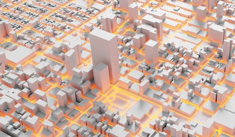
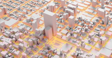
LEVERAGING GEOSAPTIAL DATA TO SOLVE REAL-WORLD CHALLENGES
DESIGNING OPTIMUM SOLUTIONS ALIGNED WITH INTERNATIONAL PRACTICES
OUR MISSION
SECTORS
Providing geospatial solutions across six key sectors.


INFRASTRUCTURE


MANUFACTURING
HEALTH AND WELLNESS
OIL AND GAS
TELECOMMUNICATION
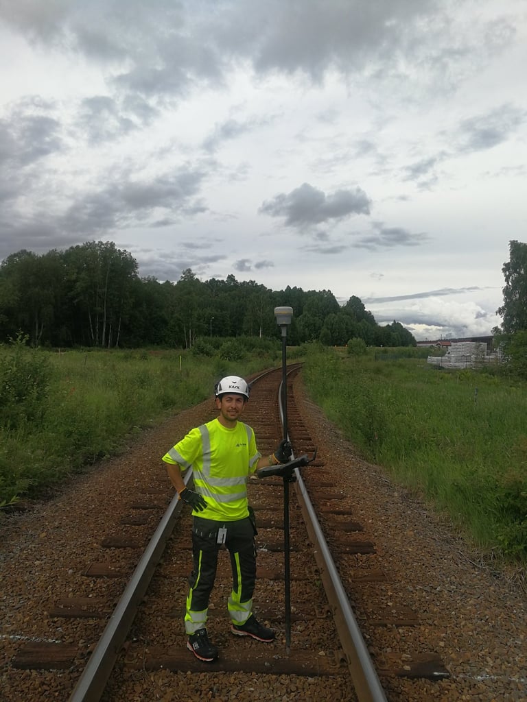
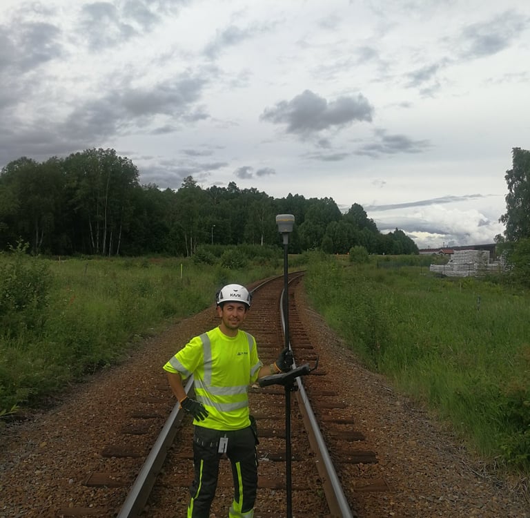


Empowering infrastructure development through accurate geospatial data services for railway, highway, and bridge projects. We adopt international best practices for achieving the most reliable geospatial data aligned with project requirements.
Driving innovation in manufacturing through precise geospatial insights and digital twin solutions that enhance facility planning, production efficiency, and asset management across every stage of the process.
Supporting the development of healthcare and wellness facilities through data-driven spatial solutions that enhance design efficiency, accessibility, and sustainability, creating environments that promote comfort, care, and well-being.
Supporting the oil and gas industry with accurate geospatial data, mapping, and monitoring solutions that optimize exploration, pipeline planning, and infrastructure management while ensuring safety, efficiency, and environmental responsibility.
Telecommunication networks are enhanced through geospatial mapping, site analysis, and data integration solutions that support efficient network planning, optimized coverage, and smarter connectivity
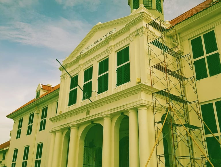
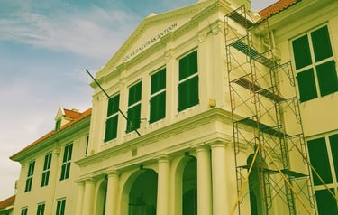
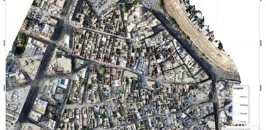
HERITAGE PRESERVATION
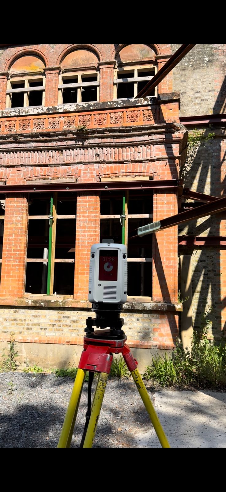
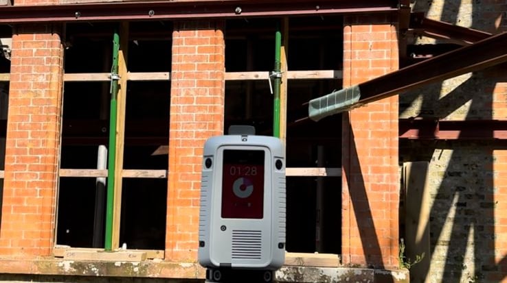
Preserving cultural and historical landmarks through high-precision geospatial mapping, 3D modeling, and digital documentation, enabling accurate restoration, informed conservation planning, and long-term protection of our shared heritage.


We deliver certainty by leveraging the synergy of our three core strengths: people x process x technology.
How we do it


PEOPLE
PROCESSES
TECHNOLOGY
OUR SERVICES
Precision geospatial data shaping your projects' success.
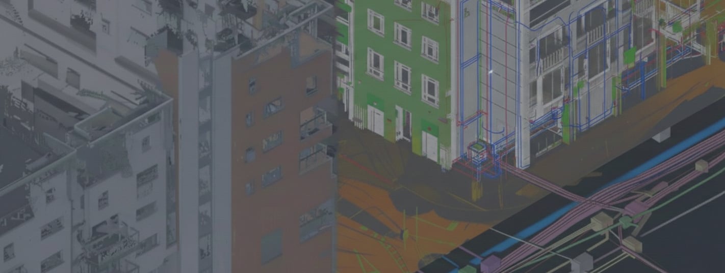
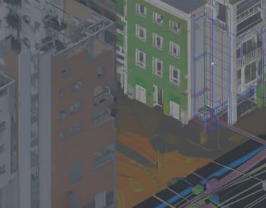
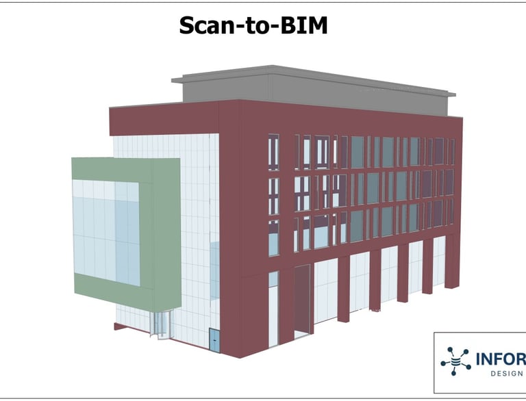
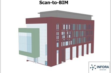
Digital Twin and Simulation
Digital twins and simulations are developed by our team to model, monitor, and optimize real-world systems across various scenarios, enabling improved decision-making, predictive insights, and operational efficiency.

Architecture Design
Innovative architecture and landscape designs are developed based on data from various sources to transform concepts into functional, visually appealing, and sustainable built environments.
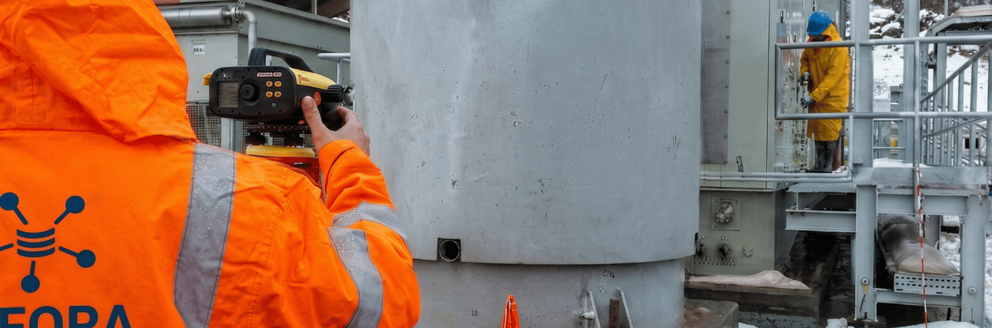
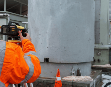
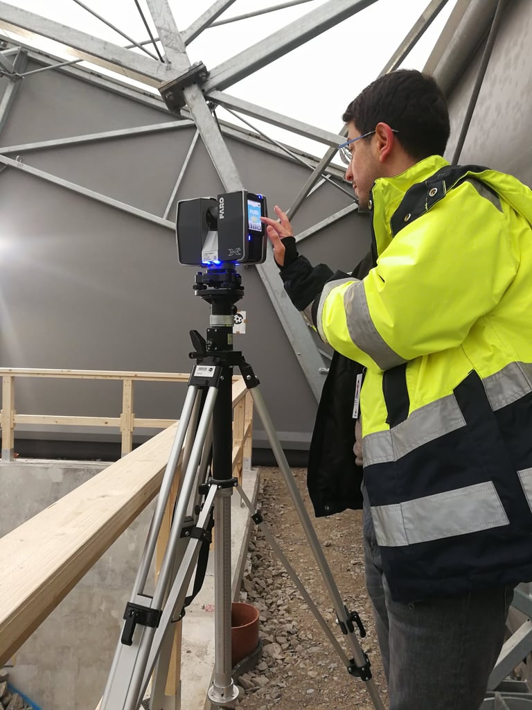
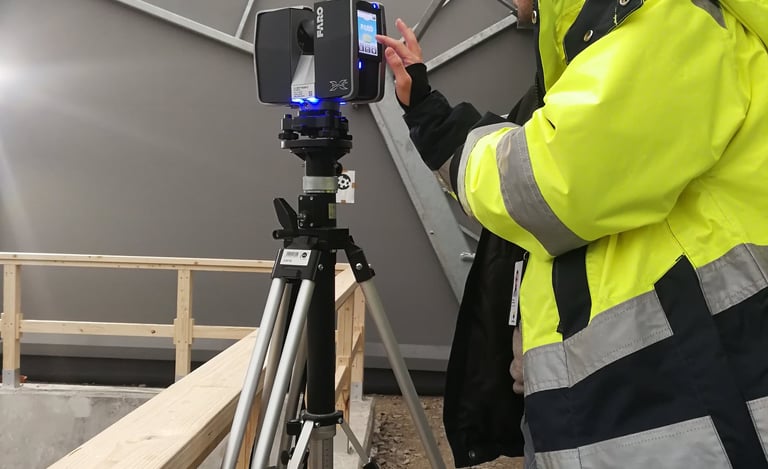
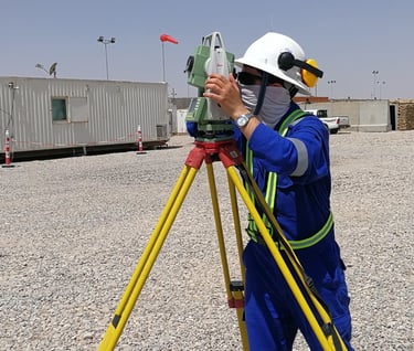
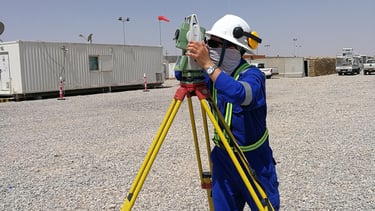
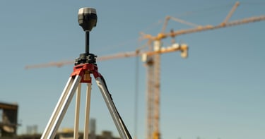
Leveraging cutting-edge instruments and modern methodologies, our specialists deliver precise geospatial surveying and mapping for reliable spatial data accuracy.
Geospatial Surveying and Mapping
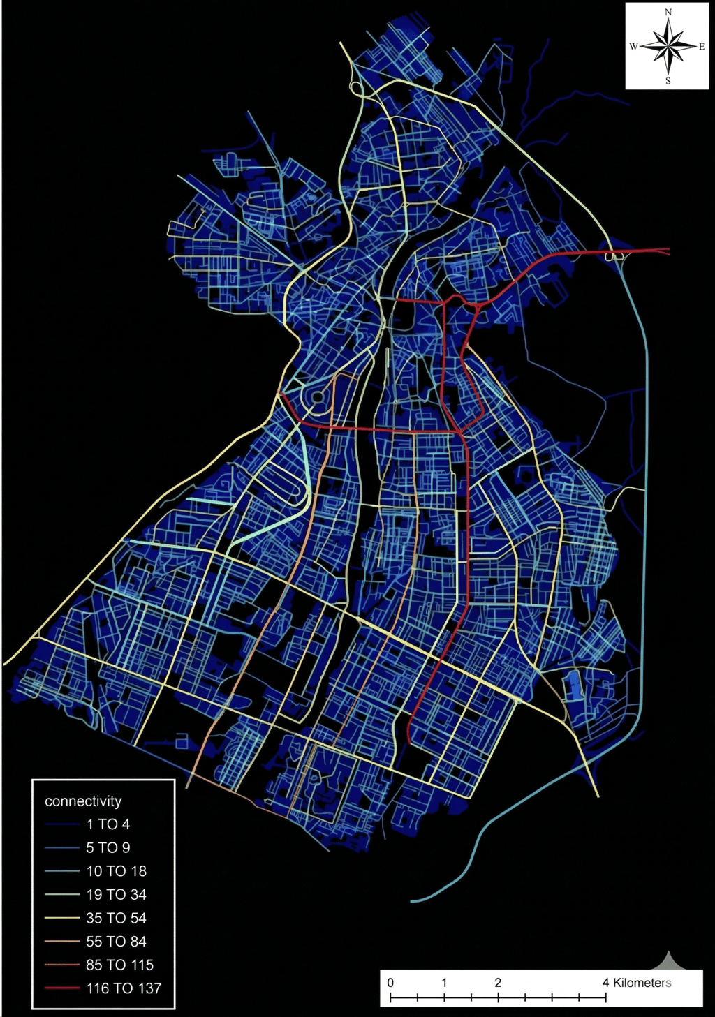
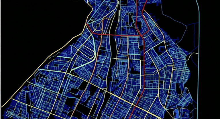
GIS Analyses
We believe data is dynamic, not static, our GIS specialists have extensive experince in performing advanced GIS analyses to extract insights, identify patterns, and support data-driven decision-making from these data across a variety of applications.
Renovation and Retrofitting
Collaboration between our geospatial, civil, and software engineers ensures data-driven solutions that optimize energy efficiency across both small- and large-scale buildings and infrastructure projects.
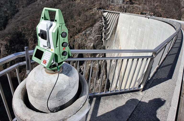
We offer deformation monitoring services to track structural and ground movements using advanced sensors and geospatial data management techniques, ensuring safety and stability.
Deformation Monitoring
Health and wellness


We’re mapping the path to a healthier life. By merging advanced geospatial intelligence with wellness expertise, we analyze the world around you based on geosaptial data to create environments that support healthier living.
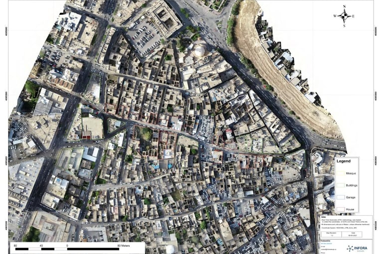


Cadastral Mapping
We assert that the future of land management is digital. We leverage accurate geospatial data to build comprehensive geodatabases and cadastral maps, providing the vital insights required for modern land administration.
We provide environmental monitoring services using geospatial data monitoring systems to assess conditions, detect changes, and support sustainable environmental management
Environmental Monitoring
Our Story
We are a team of dedicated engineers and researchers passionate about bridging the gap between the physical and digital worlds through geospatial data. Our company brings together a group of specialists with proven experience in geospatial surveying, computer science, architecture, urban planning, and civil engineering.
With projects spanning the Kurdistan Region of Iraq, Sweden, and Ireland, we combine international expertise with local insight to deliver accurate, data-driven solutions. Our shared goal is to transform complex spatial data into clear, actionable intelligence that empowers better decisions and more sustainable solutions.
At our core, we believe that great results come from collaboration, integrity, and curiosity. We’re a team with a big vision: to use geospatial intelligence to model, monitor, and optimize real-world systems, making them smarter, safer, and more efficient.
“What Gets Measured, Gets Managed” - Peter Drucker